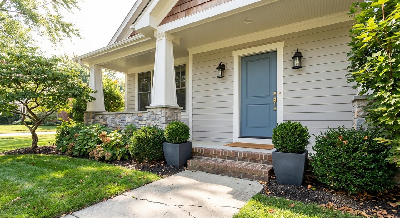
Thinking about buying a few acres in Blountville for a garden, barn, or hobby farm, but feeling buried in land jargon? You are not alone. The right parcel can be a dream, but terms like easements, percolation, and setbacks can determine what and where you can build. In this guide, you will decode the key land‑buying terms that matter in 37617 and learn a clear process to evaluate any parcel with confidence.
Let’s dive in.
Why land terms matter in 37617
Blountville sits in unincorporated Sullivan County with ridge‑and‑valley terrain and a mix of county and state roads. Many parcels were carved from larger tracts, which means older deeds, uncertain pins, and shared access are common. Understanding surveys, access, utilities, and soils helps you avoid costly surprises and increases your chances of smooth permitting and financing.
Surveys and boundaries
Boundary survey
A boundary survey is a map prepared by a licensed surveyor that marks corners, lines, and improvements. In our area, many rural parcels were divided years ago, and corners can be misplaced or missing. A current, recorded survey protects your buildable footprint, helps you avoid encroachments, and often satisfies lender requirements on land deals.
ALTA/NSPS survey
An ALTA/NSPS survey is a more detailed standard often used in commercial or higher‑value transactions. It can include easements, rights‑of‑way, and improvements with greater precision. If you plan to finance raw acreage for development, your lender may ask for ALTA standards.
Access and road frontage
Road frontage vs. legal access
Road frontage means the land physically touches a road. Legal access means you have a recorded right to reach a public road, even if you cross private property to do it. You can have frontage without legal access if the road itself is private and your right to use it is not recorded. You can also have legal access without frontage through a recorded access easement.
Driveway permits and authorities
If the property fronts a county road, the Sullivan County Highway Department handles entrance standards. If it fronts a state route, driveway permits typically go through the Tennessee Department of Transportation. Getting the right permit matters for sight distances, culverts, and drainage requirements. Start that conversation early to avoid denials or unexpected driveway costs.
Private roads and upkeep
Private drives and shared roads are common around Blountville. Maintenance is usually handled by the owners who use the road, guided by recorded language in an easement, a road maintenance agreement, or a homeowners association. Always ask for the written agreement and how costs are split.
Easements and rights‑of‑way
An easement allows someone else to use part of your land. Common examples include utility easements, shared driveway easements, and conservation easements. A right‑of‑way can be public or private and is often used for travel or utilities. Easements may limit where you can build and can carry maintenance responsibilities. In Sullivan County, some easements show up in older deeds or historic documents, so a thorough title review is essential.
Utilities on acreage parcels
Electric, water, and sewer
Much of rural Sullivan County relies on electric cooperatives for power. Water and sewer availability can vary widely near Blountville’s service edges. If public water or sewer is not available, you will likely need a well and septic system. Before you write an offer, call the electric provider, the water and sewer district that serves the area, and confirm availability, capacity, and any line extension costs.
Broadband and cell service
Broadband coverage can be spotty outside town centers. If you work from home or rely on smart devices, check service availability with local providers for the exact address. Cell coverage also varies by ridge and valley, so test signal strength during your site visit.
Septic, soils, and wells
Percolation tests and permits
A percolation (perc) test and a site evaluation determine whether the soil can support an on‑site septic system and what type is allowed. Permitting flows through the Tennessee Department of Environment & Conservation or the local health authority. If the site fails, you may need an alternative system or to connect to sewer if available.
Topography, floodplain, and wetlands
Blountville’s terrain can shift quickly from loamy flats to rocky slopes. Steep slopes, shallow bedrock, seasonal water tables, and hydric soils can reduce your buildable acreage. Check flood zones through FEMA mapping and review soils with USDA NRCS resources. Low, flat areas may require further wetlands screening. These steps help you size your building site, driveway, and future fields.
Setbacks, zoning, and covenants
Zoning and setbacks
Sullivan County zoning and setback rules regulate where you can place structures and what uses are allowed. Because Blountville is unincorporated, you will work with county zoning districts and any overlay zones such as scenic corridors or floodplain. Always confirm the zoning district, minimum lot size, and setback distances for the specific parcel.
CC&Rs and mineral rights
Recorded covenants, conditions, and restrictions (CC&Rs) can set standards like minimum home size, fencing rules, or animal limits. They apply even if zoning is more flexible. In rural Tennessee, mineral rights can be severed from the surface. Your title review should check for mineral reservations, timber interests, or any conservation easements that limit development.
Step‑by‑step due diligence
Before you make an offer
- Confirm legal access by reviewing deeds, recorded easements, and the county parcel viewer.
- Call utility providers to verify electric, water, sewer, and broadband service or extension costs.
- Check zoning district, permitted uses, and setback requirements with Sullivan County Planning & Codes.
- Screen for floodplain and wetlands, and review NRCS soils mapping for likely septic suitability.
- Look for prior septic permits with the health department; plan for a formal site evaluation if needed.
- Review assessor data for acreage and taxes; ask a title company to scan for easements, CC&Rs, and mineral reservations.
- Walk and drive the property in different conditions; note slope, drainage, rock, and access.
- Request existing surveys, plats, and the legal description from the seller or county records.
Contract contingencies to include
- Boundary survey approval or the right to obtain one.
- Septic and well feasibility, including a satisfactory perc test and site evaluation.
- Verification of legal access and permitted uses per zoning.
- Title review with the option to resolve easements, CC&Rs, or mineral exceptions.
- Clear responsibility for any improvements or corrections discovered during due diligence.
After you are under contract
- Order a new boundary survey, or ALTA/NSPS if required by your lender.
- Commission the septic site evaluation and start the permit application.
- Schedule the perc test and develop a septic site plan; plan well location if needed.
- Obtain a full title commitment and review all exceptions with a title professional.
- Confirm driveway or entrance permit feasibility with the Highway Department or TDOT.
- Get written utility availability letters and extension cost estimates.
- Verify any special tax programs or conservation agreements that affect the parcel.
Common pitfalls to avoid
- Relying only on a seller’s utility or access claims. Require written proof and recorded documents.
- Assuming total acres equals buildable acres. Exclude steep slopes, floodplain, wetlands, and easements.
- Missing recorded easements, CC&Rs, or mineral reservations. Order a title commitment early.
- Discovering failing soils after closing. Make septic approval a contingency and complete the evaluation early.
- Underestimating driveway standards or costs. Talk to the road authority before finalizing plans.
- Overlooking broadband gaps. Confirm service and speed with providers, and test cell signal on site.
Local offices to call first
- Sullivan County Property Assessor for parcel data and tax history.
- Sullivan County Register of Deeds for recorded deeds, surveys, plats, easements, and CC&Rs.
- Sullivan County Planning & Codes for zoning maps, setback tables, subdivision rules, and permit steps.
- Sullivan County GIS or parcel viewer for boundaries, aerials, topography, and flood overlays.
- Sullivan County Highway Department for county road status, access, and entrance permits.
- TDOT for driveway permits if you front a state route.
- Tennessee Department of Environment & Conservation and the local Health Department for septic and well guidance.
- USDA NRCS and FEMA resources for soils and flood mapping.
Quick glossary for 37617 buyers
- Boundary survey: A map by a licensed surveyor showing lines and corners. Used to confirm acreage, set building locations, and avoid disputes.
- ALTA/NSPS survey: A detailed survey standard that can include easements and improvements. Often used when lenders or complex sites are involved.
- Easement: A right for another party to use part of your land for access, utilities, or conservation. Can limit where you build and may include maintenance duties.
- Right‑of‑way (ROW): Land reserved for travel or utilities. May be public or private with different maintenance responsibilities.
- Legal access: A recorded right to reach a public road. Different from simple road frontage.
- Buildable acreage: The usable portion after excluding steep slopes, floodplain, wetlands, and easements.
- Perc test and site evaluation: Soil tests that determine septic feasibility and system type for permitting.
- Setbacks: Required distances from lines, roads, water, or septic systems where building is not allowed.
- CC&Rs: Recorded restrictions that can set property use standards even if zoning allows more.
- Mineral rights: Subsurface rights that can be owned separately from the land surface.
One‑page checklist for buyers
Use this quick list to compare parcels and organize your due diligence. Request our free one‑page PDF version to keep in your truck during site visits.
- Parcel basics: parcel ID, legal description, total vs. usable acres, assessed value, tax history
- Access and roads: frontage, road type, recorded legal access, driveway permit needs, private road maintenance agreement
- Surveys and boundaries: existing survey on file, new survey ordered, ALTA required by lender
- Utilities: electric provider confirmed, public water or sewer availability, broadband options, 811 locate before digging
- Septic and wells: prior permits, perc/site evaluation results, well depth and flow if known, TDEC/health office contact
- Site constraints: FEMA flood zone, wetlands signs, slope or erosion issues, NRCS soil notes, environmental history
- Legal and title: deed restrictions or CC&Rs, recorded easements, mineral reservations, title commitment ordered
- Permits and rules: zoning district, permitted uses, setback distances, building permit requirements, driveway process
- Costs and pros: estimates for survey, septic, well, utility extension; title company and closing attorney; local agent contact
- Notes and next steps: site visit observations, neighbor questions, offer contingencies
If you want a set of eyes on access, utilities, and soils before you offer, we are here to help. With experience guiding small‑acreage and hobby‑farm buyers across the Tri‑Cities, we can help you verify what is real on the ground and structure a smart, protective offer.
Ready to compare parcels or request the free checklist? Reach out to Matthew & Andrea Pendleton for local guidance and a calm, step‑by‑step plan that protects your budget and timeline.
FAQs
How can I confirm legal access on a Blountville parcel?
- Search recorded deeds for access easements, review the county parcel viewer for road status, and ask the Highway Department about public road designation. The Register of Deeds can provide recorded right‑of‑way documents.
Can I build in 37617 without road frontage?
- Possibly, if there is a recorded access easement to a public road. Lenders and permitting authorities often require proof of legal access. Unrecorded or informal access can halt financing and permits.
Who maintains a shared private road near Blountville?
- Maintenance is usually shared by owners who use the road, defined in easement language, a road maintenance agreement, or HOA documents. Always request the written agreement.
How do I know if the land will pass a septic perc test?
- Look for prior septic permits, check soils and topography, and hire a licensed professional or the health department for a site evaluation and perc test to identify suitable system types and locations.
What utilities are typical for acreage in Sullivan County?
- Many parcels use electric co‑ops for power, on‑site wells, and on‑site septic systems. Parcels closer to service boundaries may have public water or sewer. Broadband coverage varies, so confirm by address.
Do I really need a new survey before closing?
- You should strongly consider it. A current survey protects against boundary disputes, confirms acreage, and may be required by a lender or for future subdivision or site planning.
What is a conservation easement and how does it affect building?
- It is a recorded restriction that protects land from development and remains with the property. It typically reduces or eliminates development rights within its footprint.
Are mineral rights often severed in rural Tennessee?
- It is possible. Review deeds and title exceptions for mineral reservations or timber interests so you understand what rights you are actually buying.